 In the center of the picture is a pass through the mountains through which flows the Vakhsh River (there's a road in the background that points toward it). The Roghun hydropower station is being built across this pass. Construction of the dam is vehemently opposed by its neighbors Uzbekistan, who believe that is will deprive them (downstream) of much needed water resources. This is about as close to the construction site as I could get - security is tight!
15 July 2010
In the center of the picture is a pass through the mountains through which flows the Vakhsh River (there's a road in the background that points toward it). The Roghun hydropower station is being built across this pass. Construction of the dam is vehemently opposed by its neighbors Uzbekistan, who believe that is will deprive them (downstream) of much needed water resources. This is about as close to the construction site as I could get - security is tight!


13 July 2010
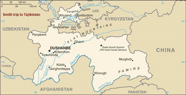
Tomorrow I leave for Gharm on the map above to see the construction going on at the Roghun hydropower station - the one that is causing problems with its neighbors. The following pictures are from a trip south of Dushanbe. Tomorrow I head east. See maps at http://www2.onu.edu/~dsmith3/location_of_tajikistan.htm
Click on on "Older Posts" at the bottom of this page for more pictures, 'cause I have quite a few I think.
Click on on "Older Posts" at the bottom of this page for more pictures, 'cause I have quite a few I think.


08 July 2010
Next week Monday I am going the cities of Kofarnihon and Gharm on the map above (there are several controversial reservoirs I will see such as Nurek (Norak) and Roghun, and then Wed to where it says Darya Panj on the map along the Afghan border. Other maps can be found at http://www2.onu.edu/~dsmith3/location_of_tajikistan

A clay oven called a "Chagdon" (or "Degdon" in Dushanbe, or "Tanur" in northern Tajikistan. Small meat pies called sambusa cling to the inside of the oven while they cook. This is outside of a restaurant attached to the University of Taxation. Government ministries and universities for the most part have their own restaurants or "canteens" available for their workers to eat mainly lunch and dinner. A very filling lunch will set you back about $ 3


06 July 2010

01 July 2010

Me and my lunch buddies (my peeps, my posse) from IREX office (l-r) Nizora Haitova, Zukhra Kudratova, and Zumrat Safarova. I have to find a job for Nizora in the states, Zukhra wants to join the US Army, and Zumrat spent 6 months in Texas... Best bunch of workers outside of the Dept. of History, Politics, and Justice I tell you what!
Subscribe to:
Posts (Atom)